

New tool to predict fire risks unveiled
 Add BT as a preferred source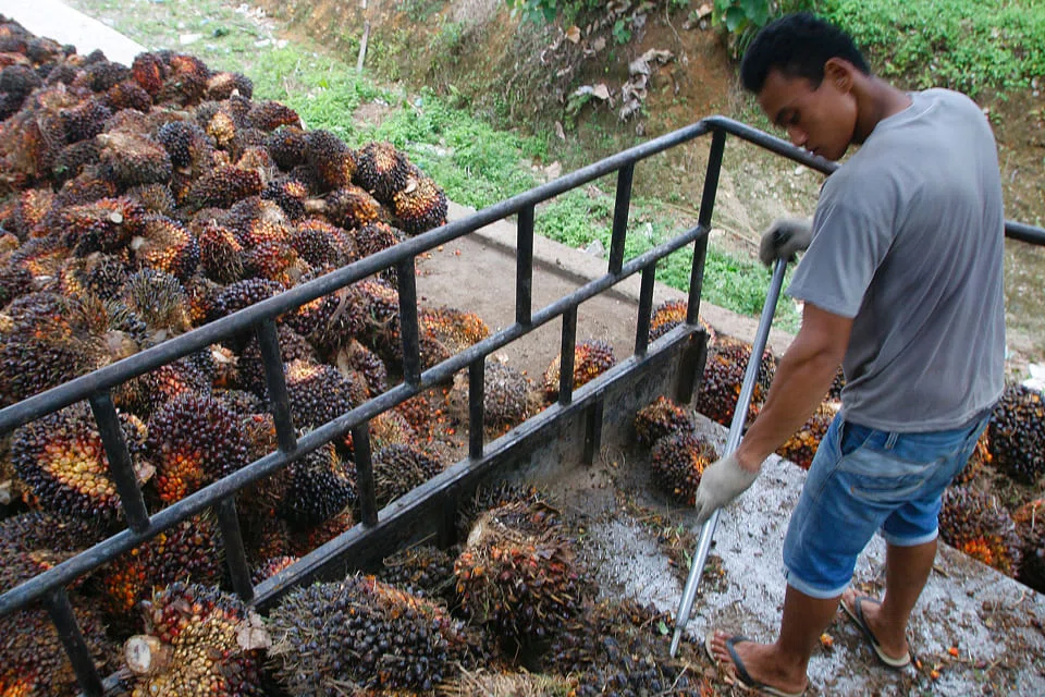
Jakarta
A MAP using satellite technology to warn of fire risks aims at helping South-east Asian governments better deploy their resources to combat raging blazes, which cloak the region in haze every year, a specialist on forest fires said on Tuesday.
Slash-and-burn agriculture, much of it clearing land for palm oil crops, blanketed Singapore, Malaysia and northern Indonesia in a choking haze for months last year.
TRENDING NOW

Tepid investor interest a dampener on Vietnam’s strong IPO pipeline

Air India seeking US$1.5 billion from owners Tata, Singapore Airlines: sources

OK Lim’s daughter loses challenge to exclude evidence in ongoing trial

UOB v Lippo Marina Collection: Court quadruples damages awarded to bank to S$76.1 million

